
Wind, Navigation & Stalking
A stalk is a moving problem involving wind, terrain, visibility and your ability to know exactly where you are. The shortest route is rarely automatically the best route.
Understand the wind as changing information
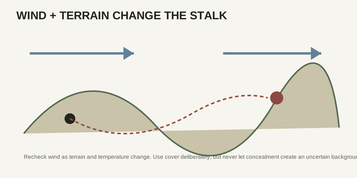
Wind can shift with terrain, temperature and time of day. Check it repeatedly rather than assuming the direction you felt at the trailhead still controls the stalk.
Use terrain to solve visibility
Ridges, folds, vegetation and creek bottoms can hide movement, but they can also hide your location or create unsafe shooting backgrounds. Plan both concealment and awareness.
Navigate before you need rescue
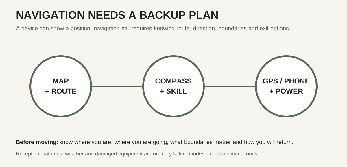
Know the route in, the route out and important boundaries. Electronic mapping is useful, but battery failure, damaged devices and poor reception should not leave you without a plan.
Move at the speed of information
When you cannot see the animal or do not understand the wind, slowing down can be more productive than covering ground. A stalk often fails because the hunter acts on stale information.
Protect the final approach
The last portion may require more patience than the first mile. Reassess wind, shooting position, background and recovery terrain before closing simply because the animal is near.
Do not let a stalk create an unsafe shot
A successful approach does not obligate you to shoot. If the final position produces poor stability, an uncertain background or an unsuitable angle, the correct outcome may still be to pass.
Know how you will leave
Navigation does not end when you reach the animal. Darkness, a heavy pack and changed weather can make the return route more difficult than the approach.
This site is free — brand partnerships coming soon.
General educational information only. Always follow current local hunting regulations and verify ammunition performance with the manufacturer.